


Texas
Coastal Geology
Richard
L. Watson, Ph.D.
P.O. Box
1040 Port Aransas, TX 78373
361-749-4152 send email
TEXAS
COAST AERIAL
PHOTOGRAPHY
High
resolution digital
copies of many of
these photographs are available for sale. You may purchase a digital
photo in the highest resolution that I have for $25.00 for personal use
or for use in your presentations. The charge will be $150 for
use
in publications or for commercial reproduction. Contact me
to purchase photos. These photographs
are
copyrighted and are the property of Richard L. Watson. They
may
not be copied or used without permission. You may however
link to
this website from your website or by email.
If you would like to make a
donation to help support the expense of providing these photos of the
Texas Coast, please click on the Paypal button below.
Click
on the photos for more
pictures
Google
Street Map and Satellite Photos
(go to city or street location and then click on "satellite" or "map"
in the
upper right hand corner of the page. You can drag either the
map
or
the photo with the mouse. You can change the zoom.
This is
a really
cool site.
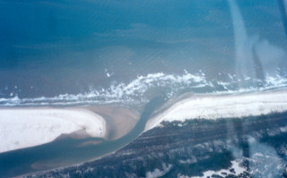
Pass
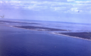
Cavallo
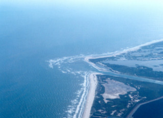
Matagorda
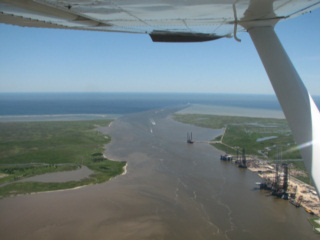
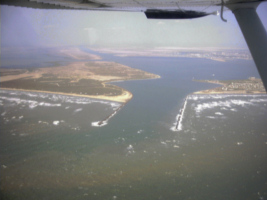
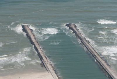
Ship Channel
Colorado
River Entrance
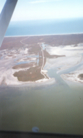
Mitchells
Cut
San
Bernard River
Brazos River Deltas
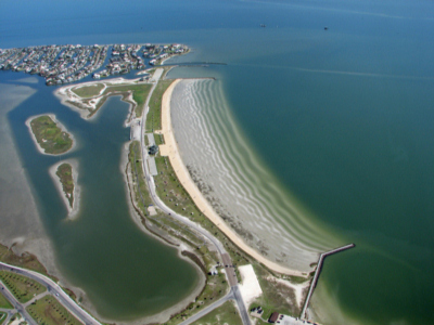
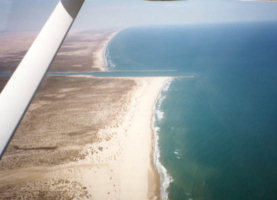
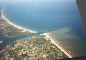
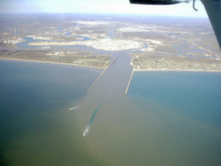
Freeport Entrance and Surfside Village
San
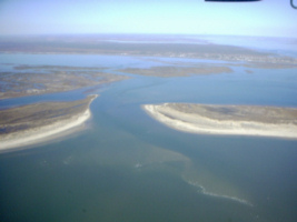
Luis Pass

Bolivar
Roads, Galveston

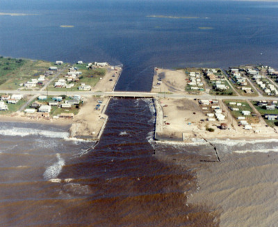
Rollover
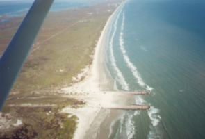
Pass, Gilchrist