


TEXAS
COAST AERIAL
PHOTOGRAPHY
Severe
Beach
Erosion at Surfside, Texas
Coastal
Law and the
Geology of a Changing Shoreline,
March 2006, updated to include section on poor beach and dune
management practices
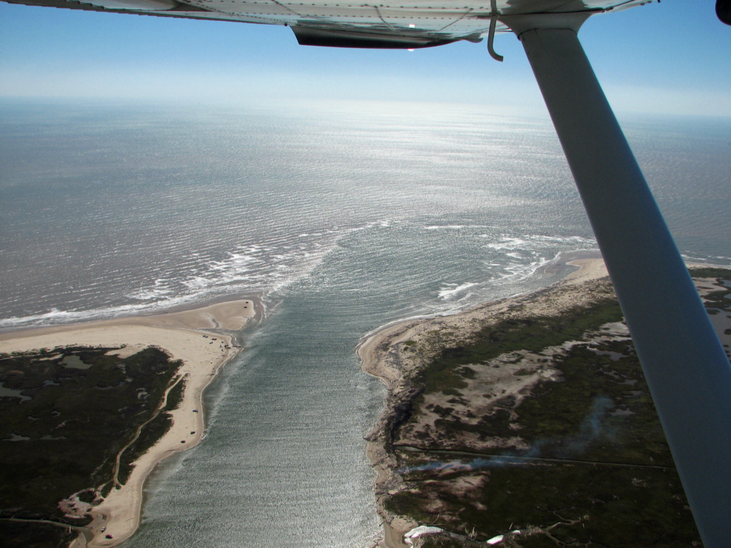
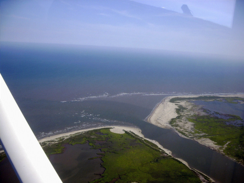
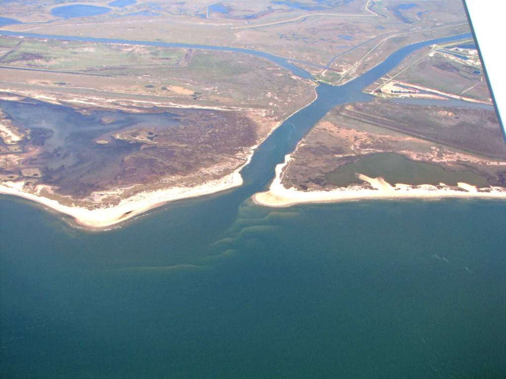
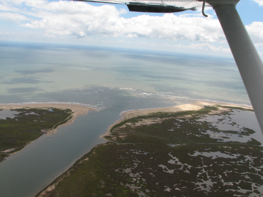
Brazos River entrance, 5/18/2006
Brazos River and Delta , 1999
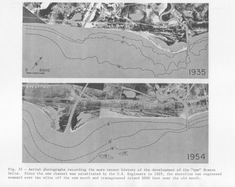
New Brazos Delta on Left, Old Delta on Right
River Diverted 6 miles West in 1929
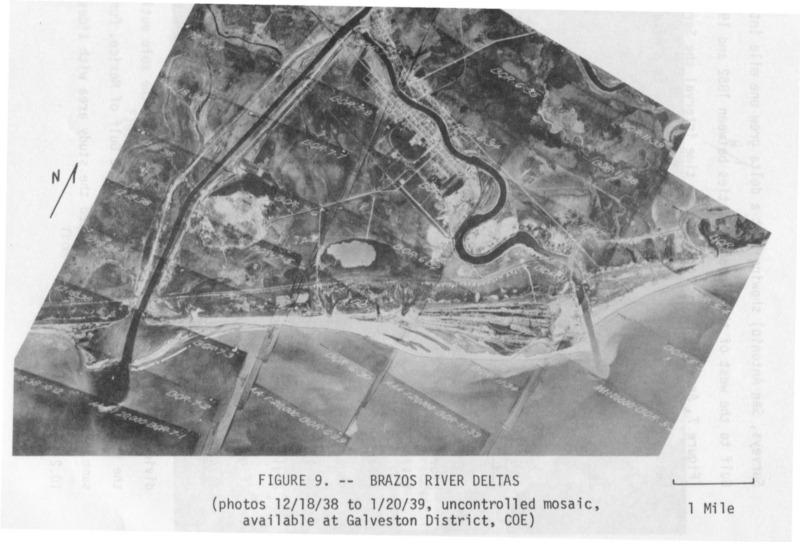
Intermediate photo of New and Old Brazos Deltas, 1938
High resolution digital copies of many of these photographs are available for sale. You may purchase a digital photo in the highest resolution that I have for $25.00 for personal use or for use in your presentations. The charge will be $150 for use in publications or for commercial reproduction. Contact me to purchase photos. These photographs are copyrighted and are the property of Richard L. Watson. They may not be copied or used without permission. You may however link to this website from your website or by email.
These photographs are copyrighted and are the property of Richard L. Watson. They may not be copied or used without permission. You may however link to this website from your website or by email.
If you would like to make a donation to help support the expense of providing these photos of the Texas Coast, please click on the Paypal button below.
Read the following papers for much more information about the Brazos River delta.
Severe
Beach
Erosion at Surfside, Texas
Caused by Engineering Modifications to the Coast
and Rivers
Coastal
Law and the
Geology of a Changing Shoreline,
March 2006, updated to include section on poor beach and dune
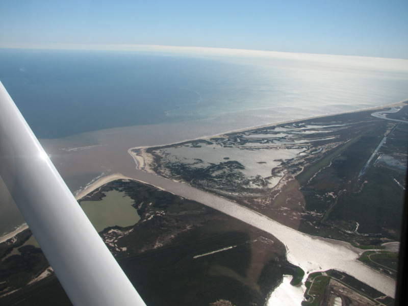
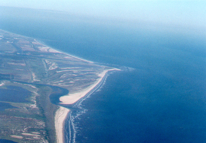
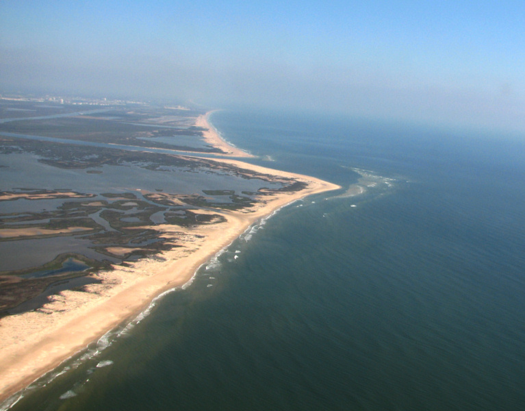
management practicesBrazos River Entrance and Delta 3/11/2011
Look at the interesting series of bars on
the updrift (right) side of the Brazos Delta. These bars serve to
bypass sand around and across the entrance. This is natural bypassing.
Brazos River Entrance and Delta 10/29/2010

Brazos River Entrance and Delta 10/29/2010
Brazos River Entrance and Delta 10/29/2010
Brazos River Entrance and Delta 6/28/2010
Note the light breaking of the outer bar.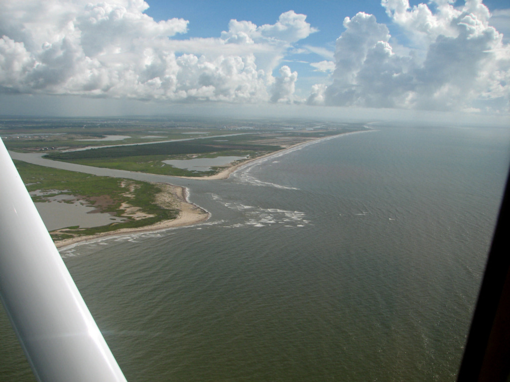
Brazos River Entrance and Delta 6/28/2010
Brazos River Entrance and Delta 4/8/2010

Brazos River Entrance and Delta 4/8/2010
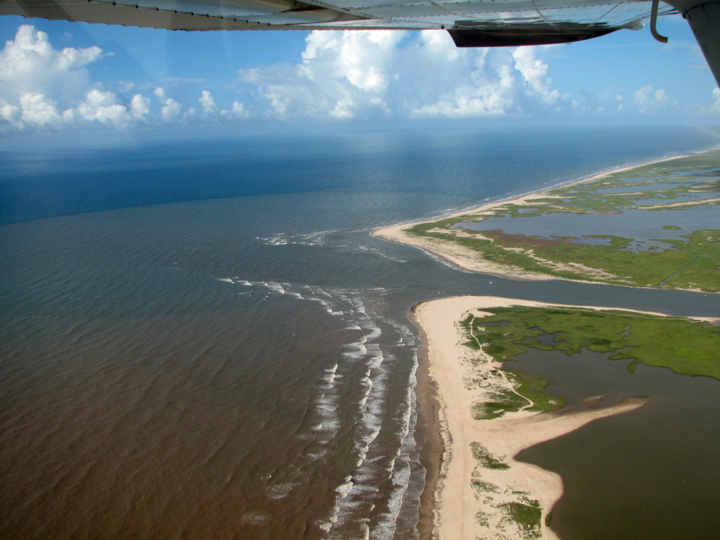
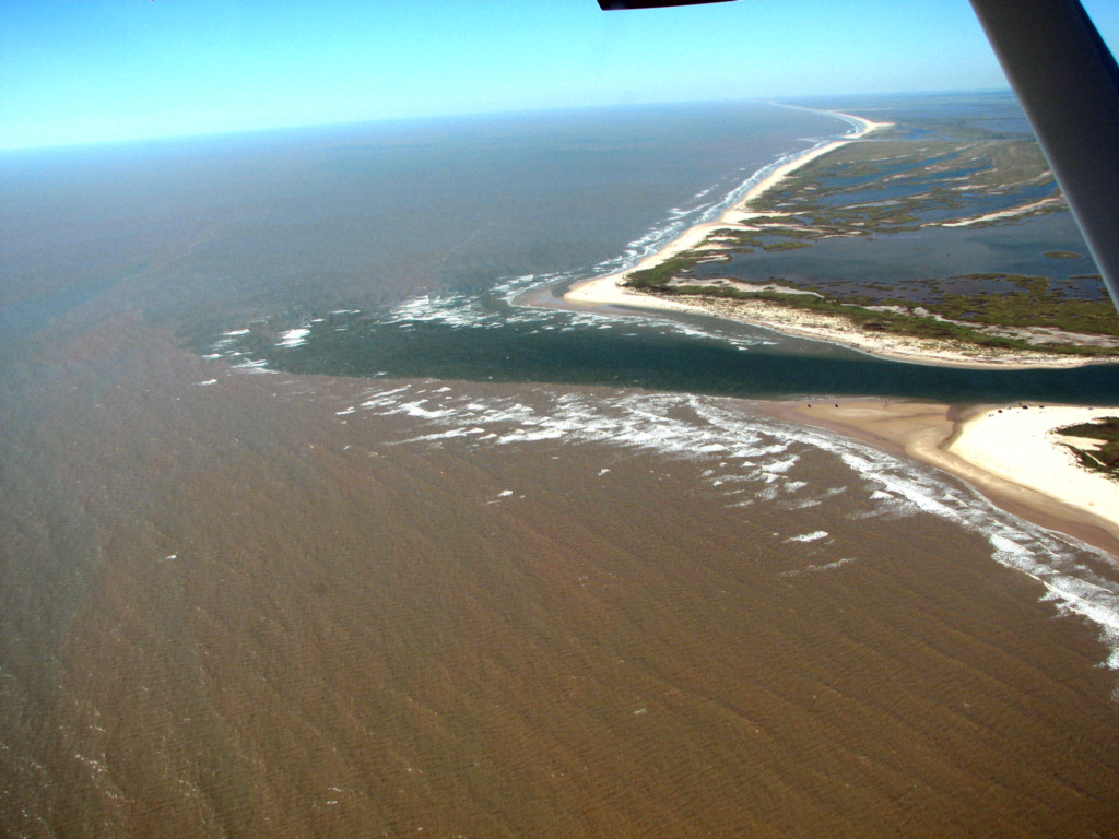
Brazos River Entrance and Delta 9/14/2009
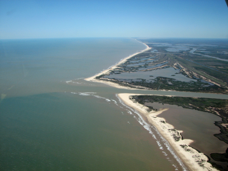
Brazos River Entrance and Delta 3/16/2009
Brazos River Entrance and Delta 3/16/2009
Brazos River Entrance and Delta 3/16/2009
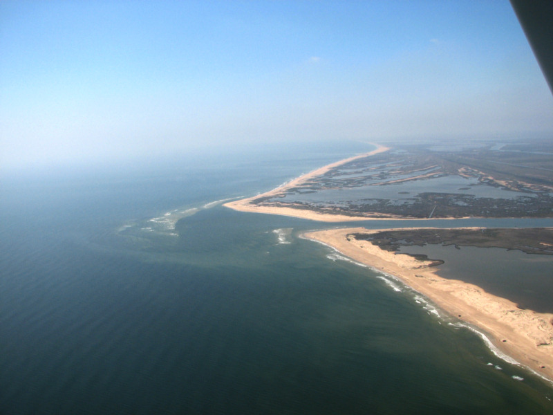
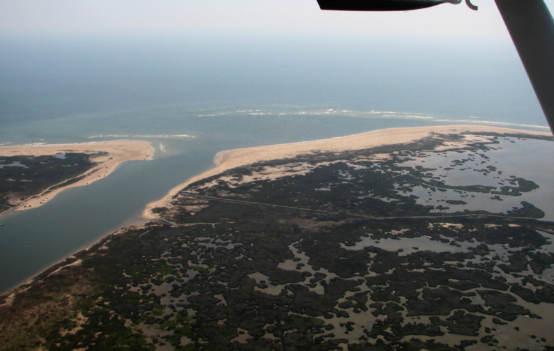
Brazos River Entrance and Delta 2/27/2008
Note that this new delta has been eroding since about 1948 when the last of the many large dams on the river upstream was completed. Note the beach ridges on the south (right side) side of the delta are truncated by beach erosion.Brazos River entrance, 5/18/2006
Brazos River and Delta , 1999
New Brazos Delta on Left, Old Delta on Right
River Diverted 6 miles West in 1929
Intermediate photo of New and Old Brazos Deltas, 1938