


TEXAS
COAST AERIAL
PHOTOGRAPHY
Click
here to see a dramatic time sequence showing erosion at Surfside
Village.
Severe
Beach
Erosion at Surfside, Texas
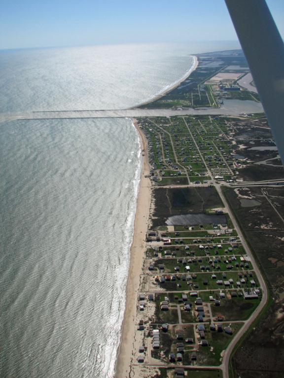

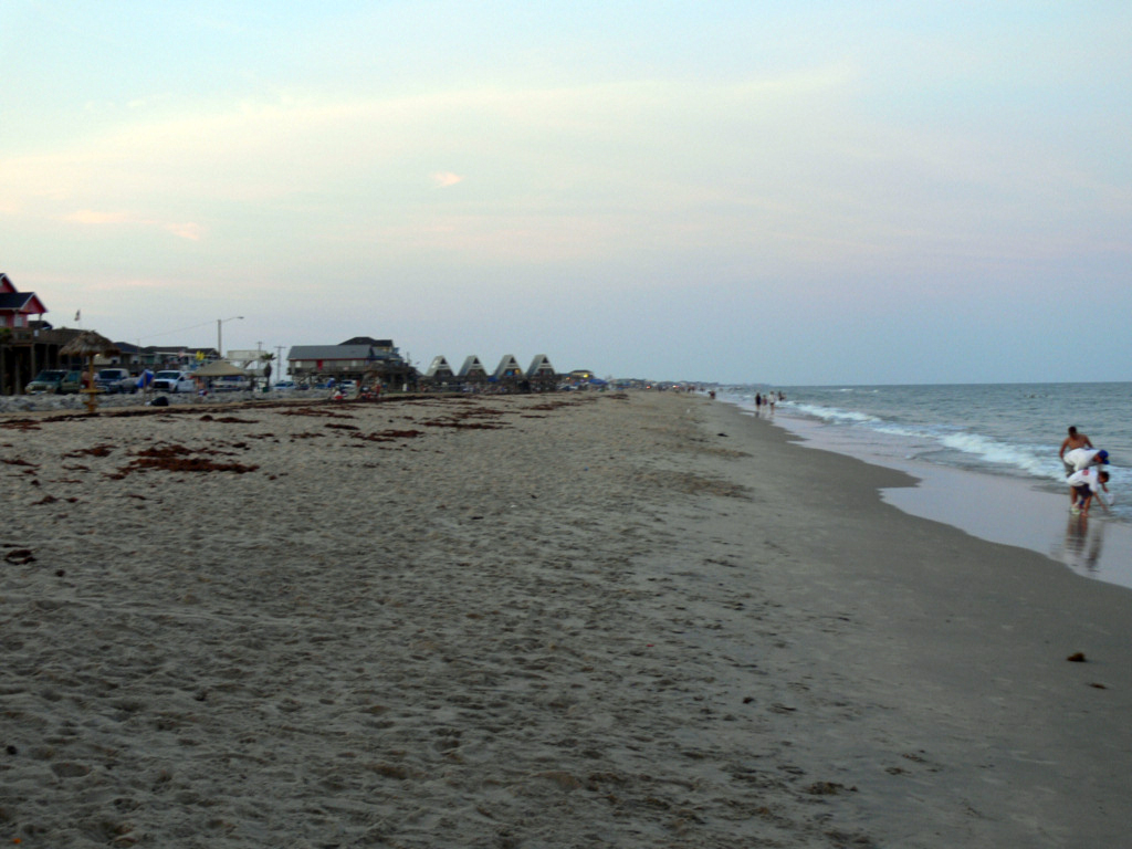
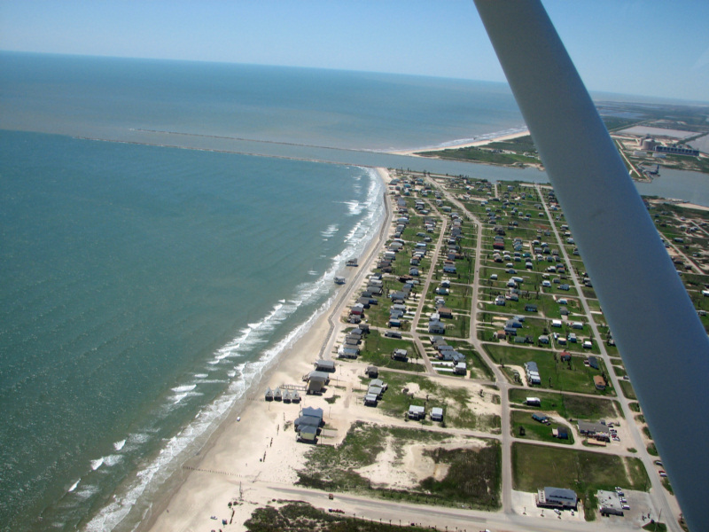
Surfside
3/11/2011


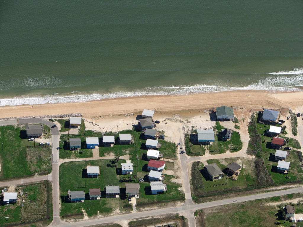
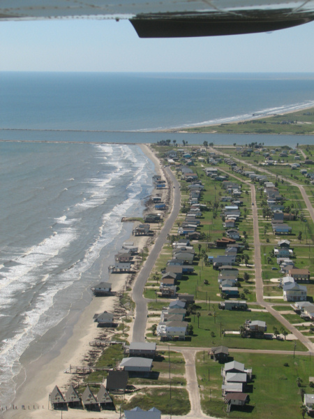
Surfside Village 1/11/2007
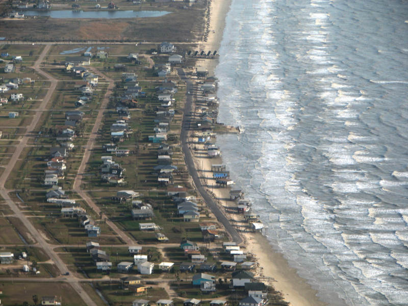
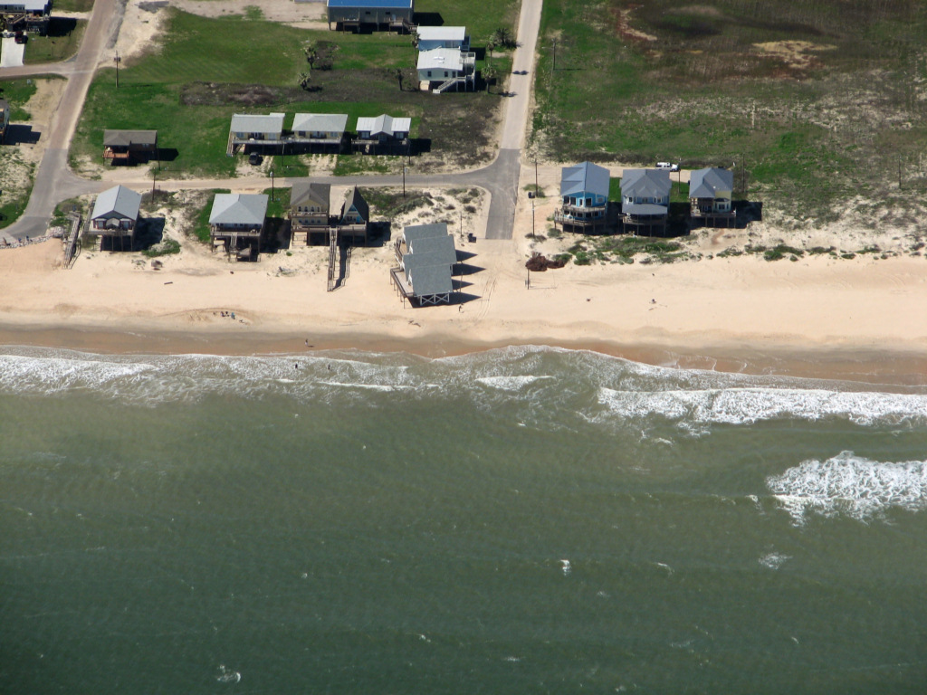
Closeup of the houses at Surfside Village 1/11/2007
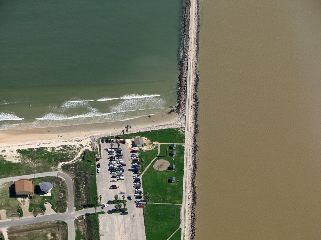
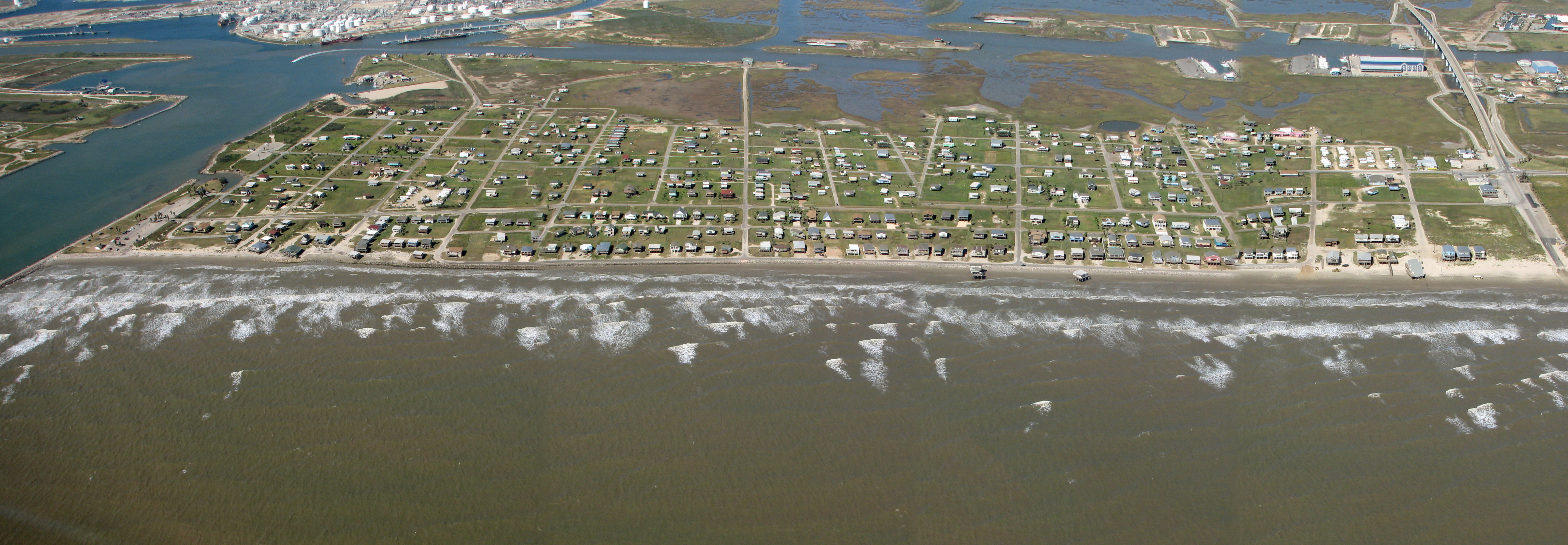
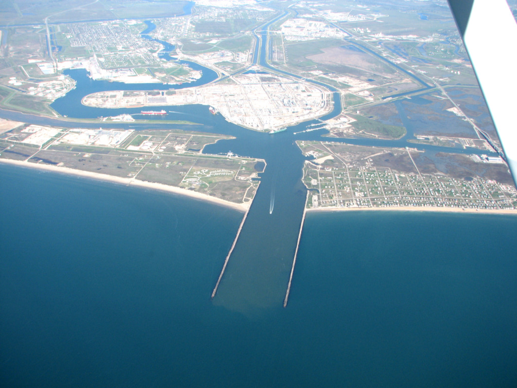
Freeport Entrance Channel, 2003

Freeport Entrance Channel and Surfside, 2003
High resolution digital copies of many of these photographs are available for sale. You may purchase a digital photo in the highest resolution that I have for $25.00 for personal use or for use in your presentations. The charge will be $150 for use in publications or for commercial reproduction. Contact me to purchase photos. These photographs are copyrighted and are the property of Richard L. Watson. They may not be copied or used without permission. You may however link to this website from your website or by email.
These photographs are copyrighted and are the property of Richard L. Watson. They may not be copied or used without permission. You may however link to this website from your website or by email.
If you would like to make a donation to help support the expense of providing these photos of the Texas Coast, please click on the Paypal button below.
Click
here to see a dramatic time sequence showing erosion at Surfside
Village.
Read the following papers for much more information about the Freeport and Surfside Village area.
Coastal Law and the Geology of a Changing Shoreline, March 2006, updated to include section on poor beach and dune management practicesSevere
Beach
Erosion at Surfside, Texas
Caused by Engineering Modifications to the Coast
and Rivers
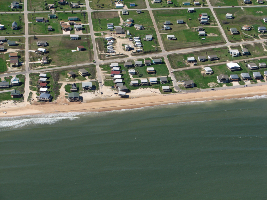
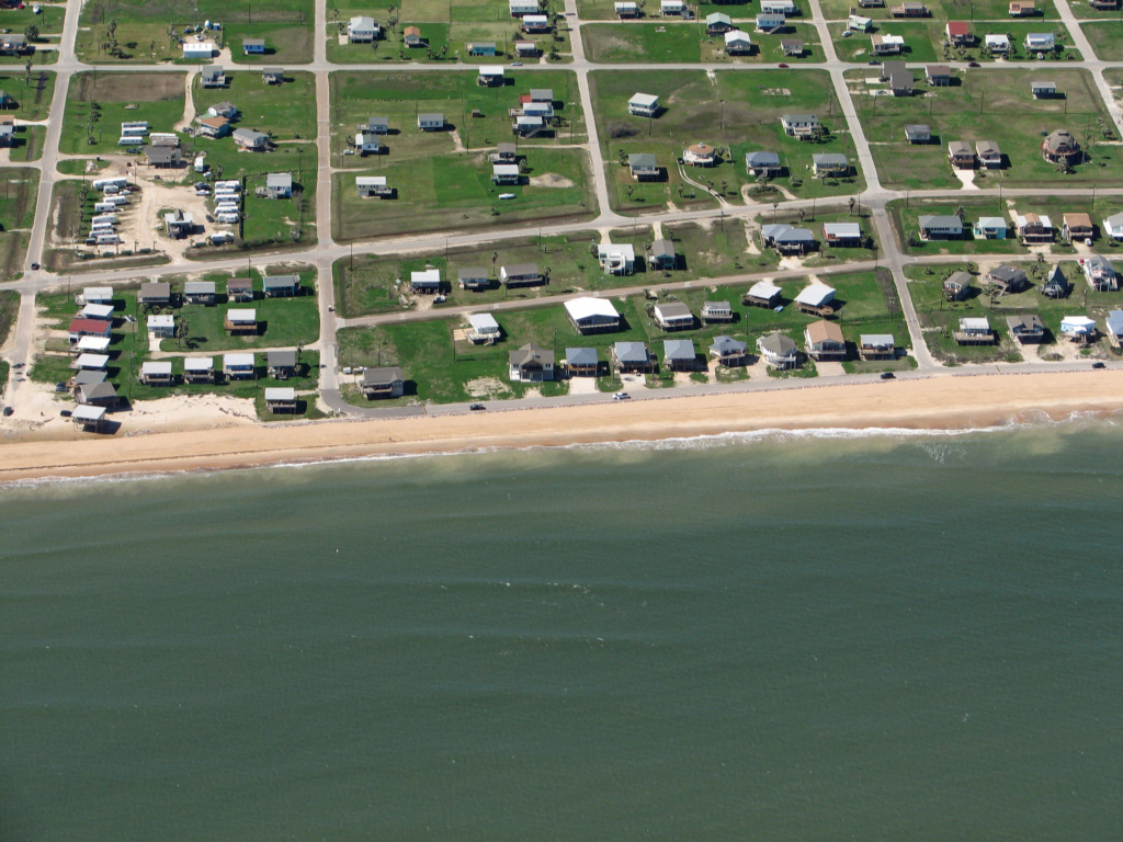
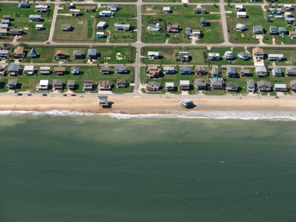
Surfside 3/4/2012
Surfside 3/4/2012
Surfside 3/4/2012
Surfside 3/4/2012
Surfside 3/4/2012
Surfside 3/4/2012
Surfside 3/4/2012
Surfside 3/4/2012
Surfside 3/4/2012
Surfside 3/4/2012
Surfside 3/4/2012
Surfside 8/6/2011
Surface photo provided by Jeff Robertson. Scroll down to the air photos from 7/13/11 for an explanation of the beach erosion.Surfside 7/4/2011
Surface photo provided by Jeff RobertsonSurfside 7/4/2011
Surface photo provided by Jeff RobertsonSurfside 7/13/2011
Only a few months after massive beach
nourishment at a cost of about $4.6 million, the beach is already
disappearing. When beach nourishment is done, the sand is placed
high on the beach to provide a wide dry beach for tourists.
However, unless the entire underwater profile is raised by the
same amount out to a depth of about 18 feet, the waves quickly
re-distribute that sand along the entire width of the profile as far
out as waves can move sand. The dry beach disappears.
Surfside 7/13/2011
This is a stitched together panorama, so there will be errors in the photo merging.
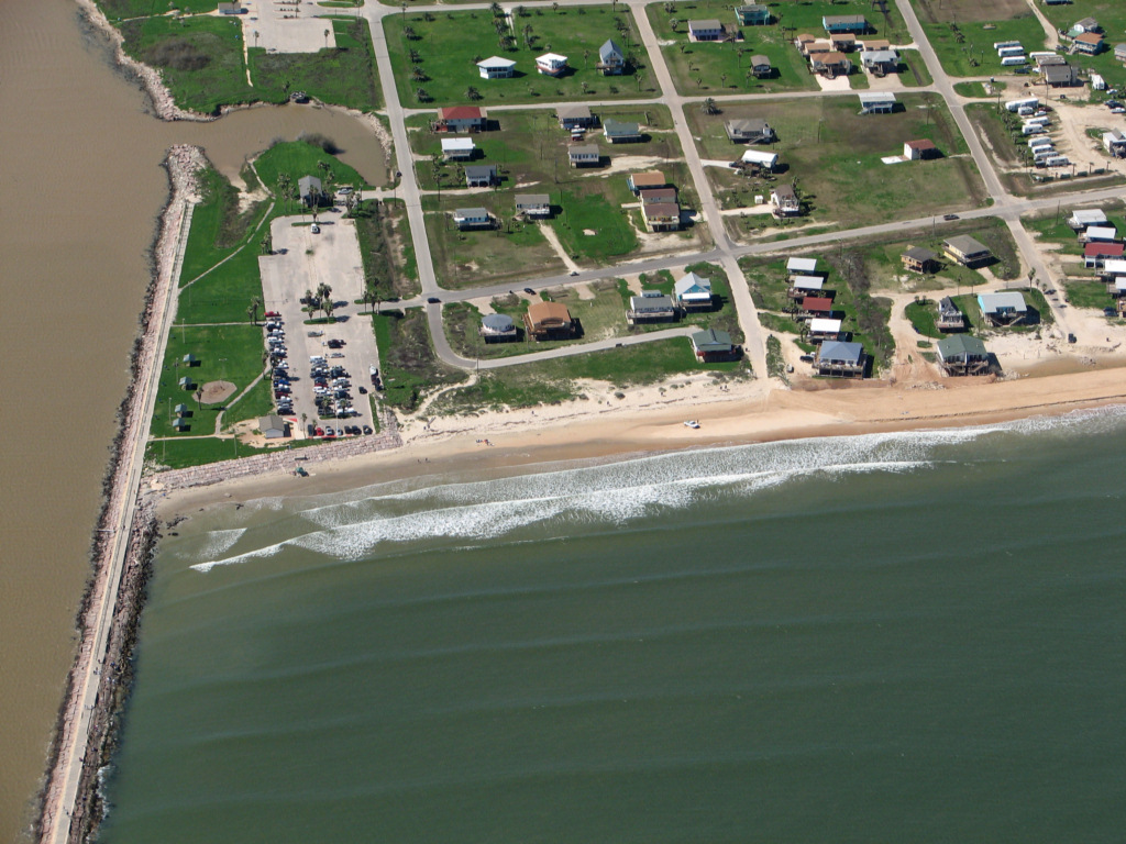
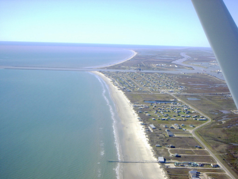
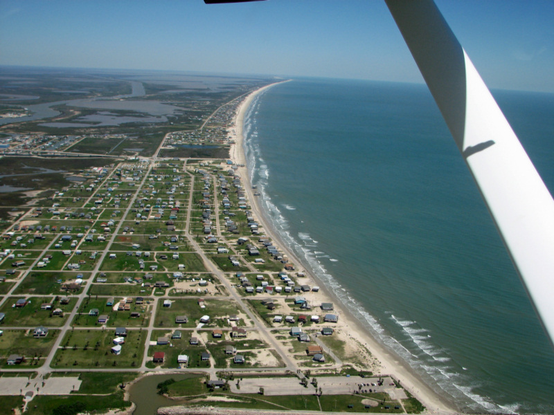
Surfside
3/11/2011
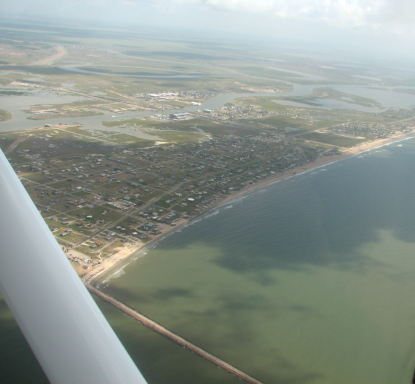
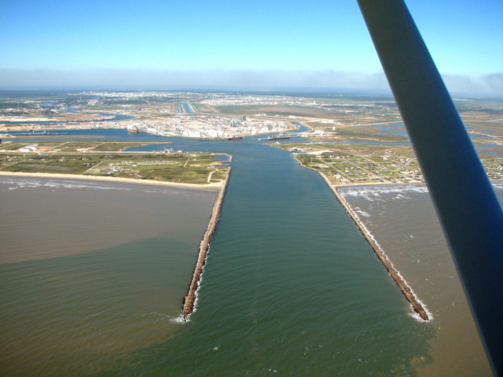
Freeport Entrance 3/11/2011
Freeport Entrance 10/29/2010
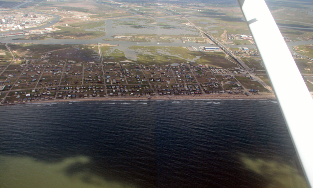
Surfside Village 10/29/2010
This is a panorama composed of 4
photographs. The photograph is reasonably accurate along the
shoreline, but the angles become incorrect further inland.
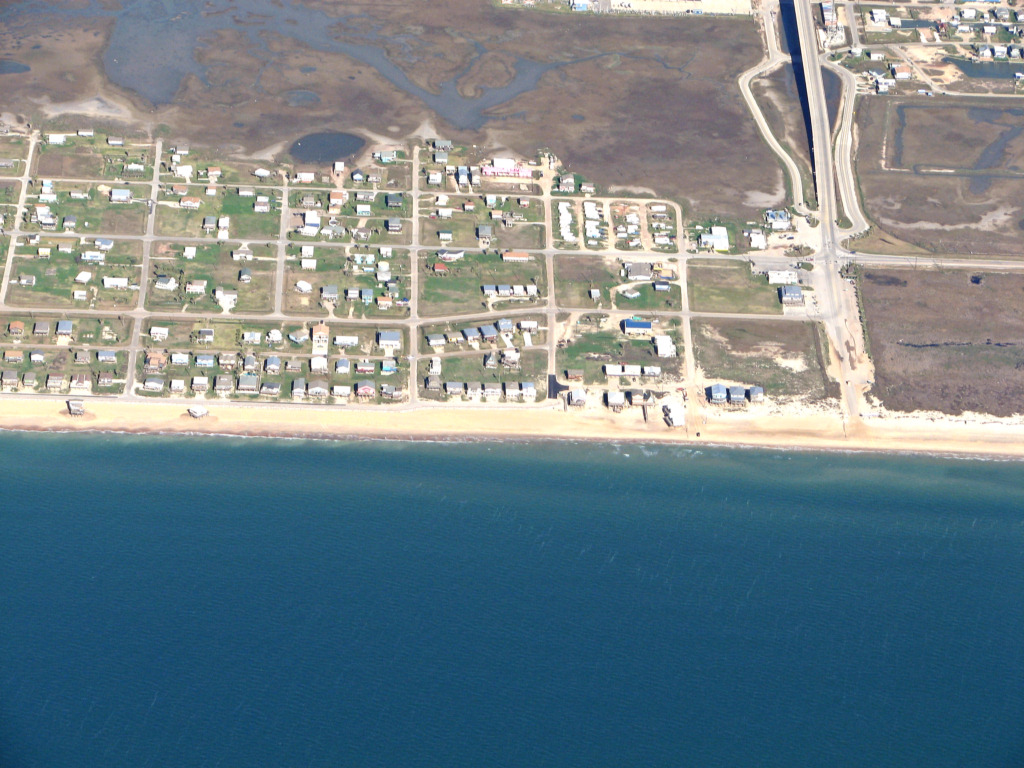
Surfside Village 6/28/2010
Two houses remain on the beach in front of the revetment protecting Beach Drive.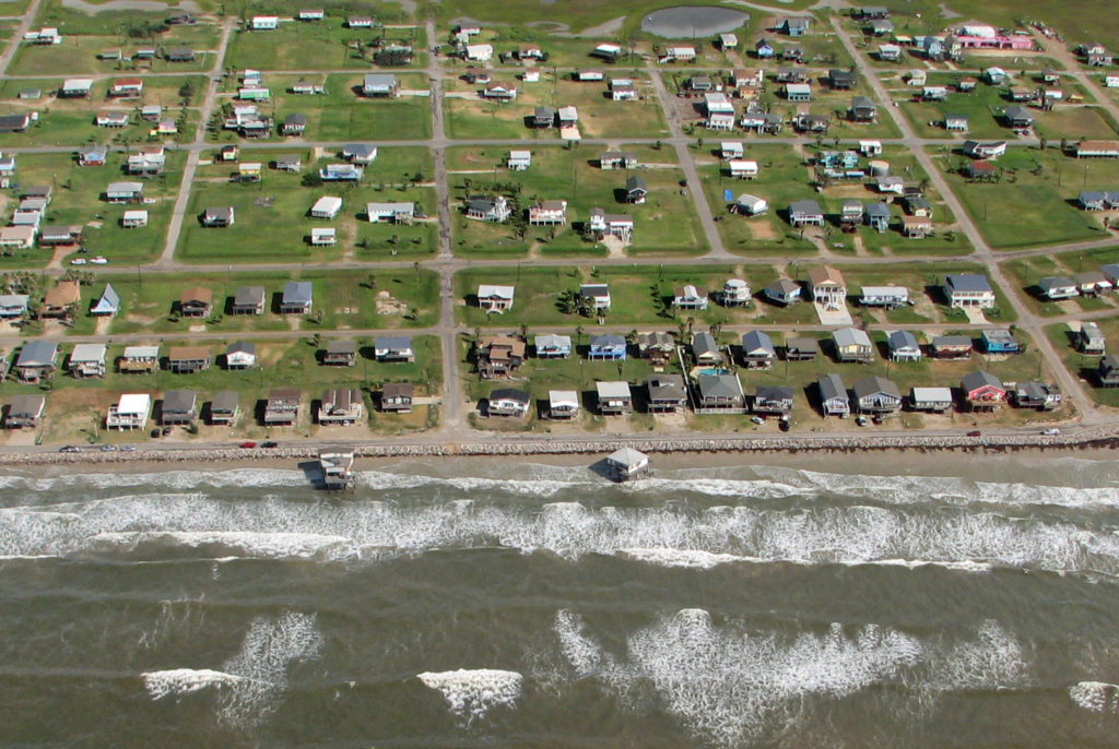
Surfside Village 6/28/2010
Houses west of the revetment protecting Beach Drive are now very vulnerable to erosion.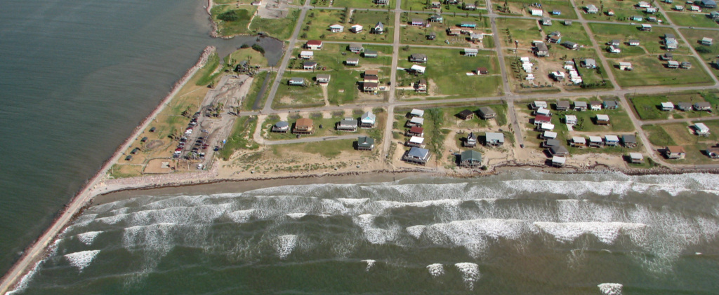
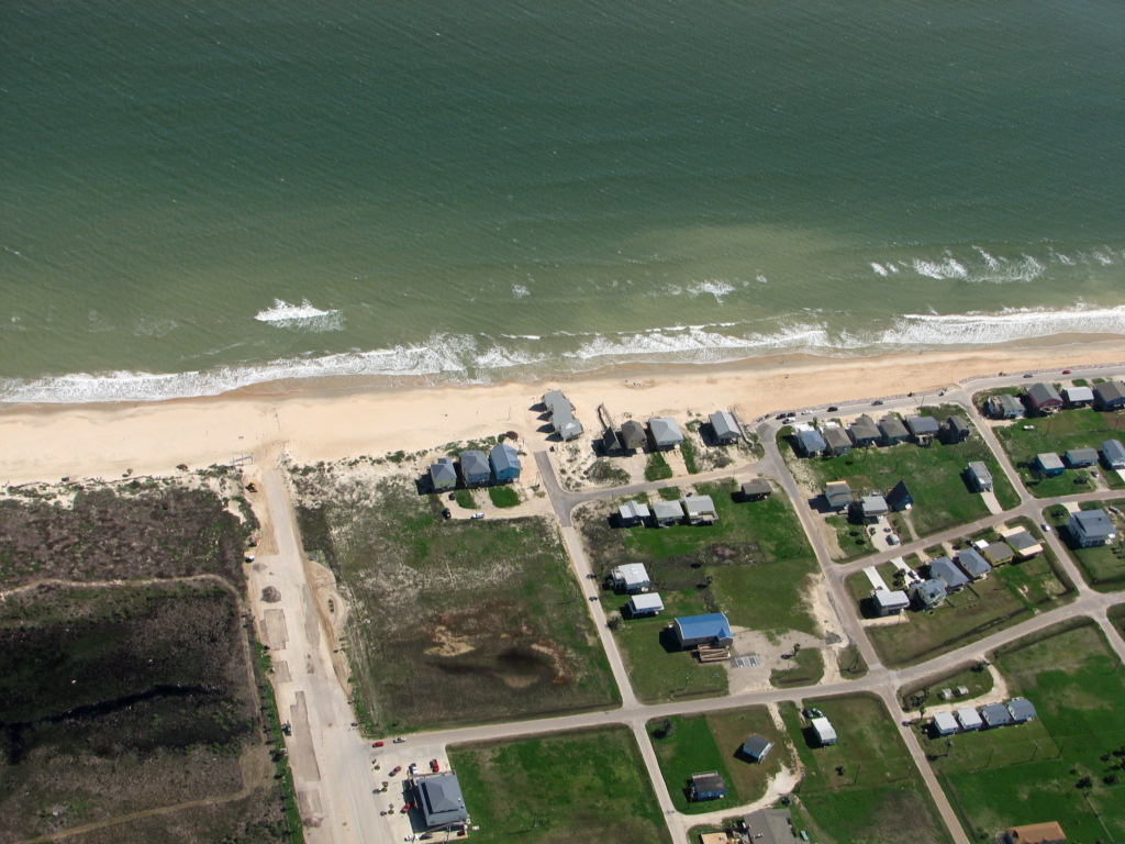
Surfside Village 4/8/2010
Note that there are only two
houses left on the beach in front of Beach Drive. The beach is
very
narrow. Even though these photos were taken during a norther, it
looks
like the angle of the waves is carrying sand to the NE along the beach
from the vicinity of the Freeport Entrance Jetties and may be carrying
it to the SW in the upper part of the photograph. There is
nothing
carrying sand toward the vicinity of Beach Drive.
Surfside Village 4/8/2010
Note that there are only two houses left on
the beach in front of Beach Drive. The beach is very narrow.
Even though these photos were taken during a norther, it looks
like the angle of the waves is carrying sand to the NE along the beach
from the vicinity of the Freeport Entrance Jetties and may be carrying
it to the SW in the upper part of the photograph. There is
nothing carrying sand toward the vicinity of Beach Drive.
Surfside Village 9/14/2008
Four houses still remain on the beach with surf under them.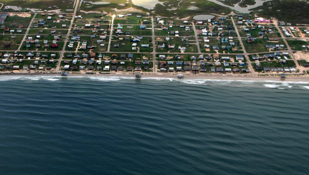
Surfside Village 9/14/2008
Man-made dunes and sand fences on Follets Island at Surfside.
Surfside Village 2/27/2008
Surfside Village 2/27/2008
Surfside Village 10/11/2007
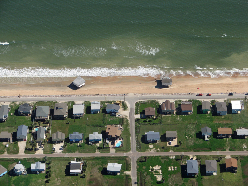
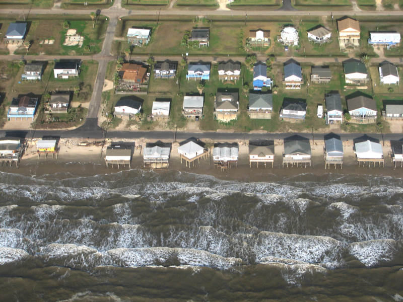
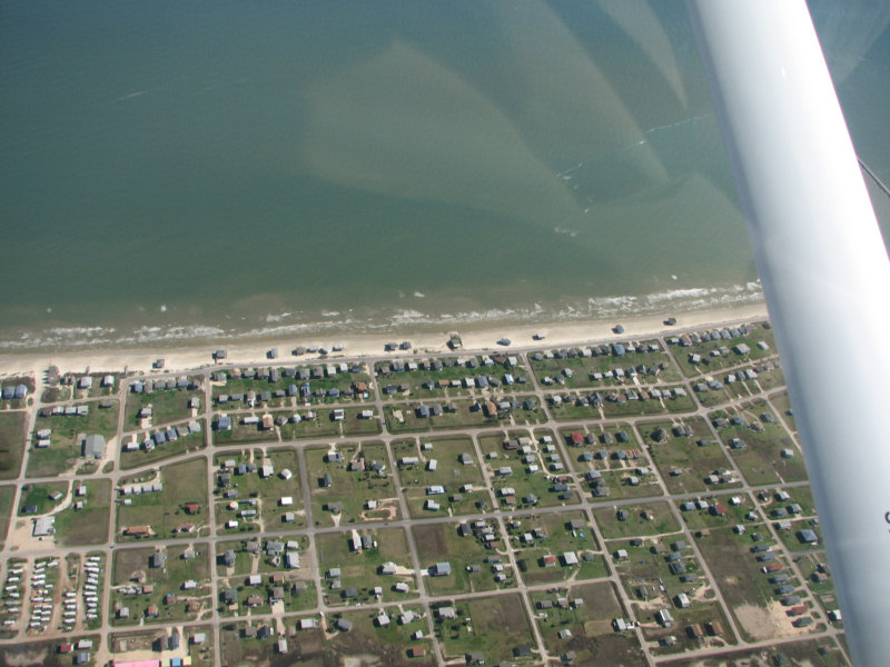
Surfside Village 1/11/2007
Note the row of the houses
in the edge of
the water. These houses had a beach in front of them a few
years
ago and another row of houses in front of them before that.
Closeup of the houses at Surfside Village 1/11/2007
Freeport Entrance Channel, 2003
Freeport Entrance Channel and Surfside, 2003