


TEXAS
COAST AERIAL
PHOTOGRAPHY
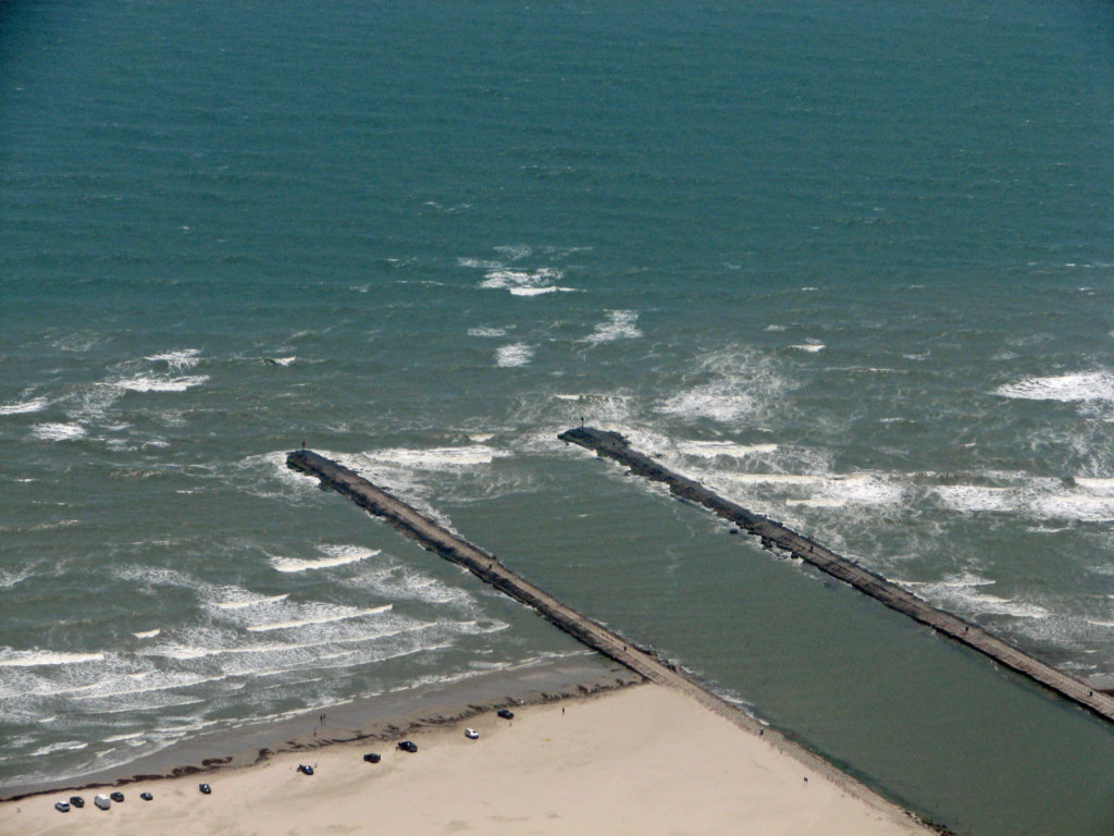

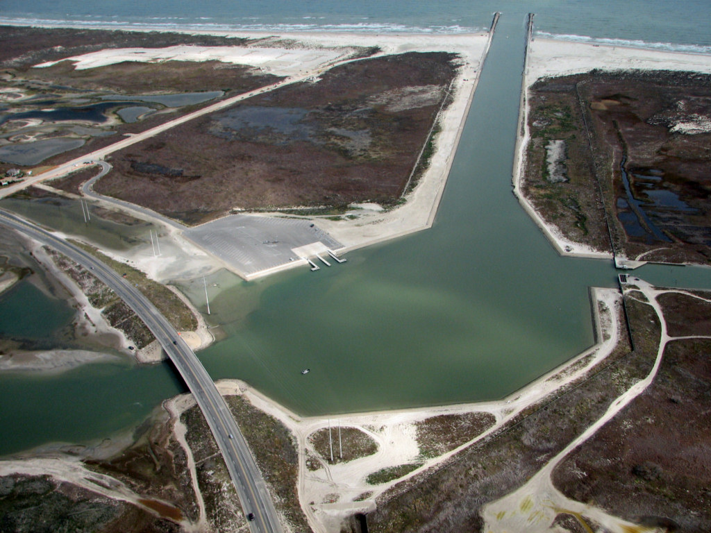
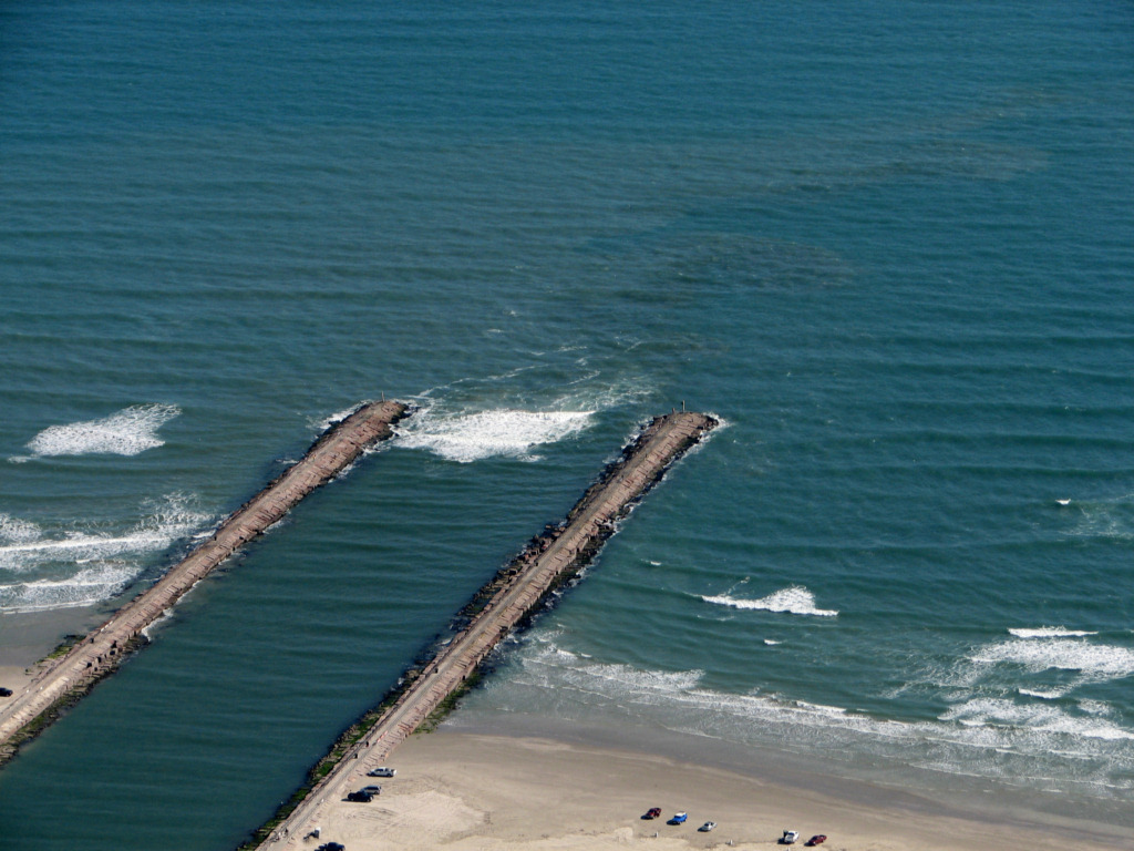
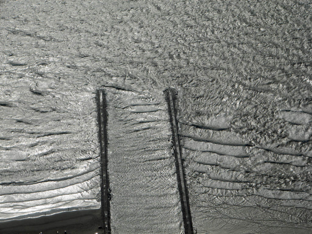
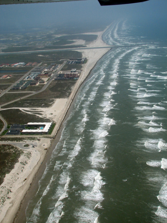
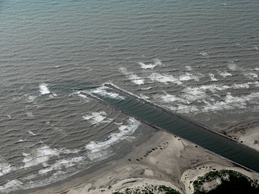
Packery Channel basin and launching area 1/11/2010. Note sand
bars.
High resolution digital copies of many of these photographs are available for sale. You may purchase a digital photo in the highest resolution that I have for $25.00 for personal use or for use in your presentations. The charge will be $150 for use in publications or for commercial reproduction. Contact me to purchase photos. These photographs are copyrighted and are the property of Richard L. Watson. They may not be copied or used without permission. You may however link to this website from your website or by email.
These photographs are copyrighted and are the property of Richard L. Watson. They may not be copied or used without permission. You may however link to this website from your website or by email.
If you would like to make a donation to help support the expense of providing these photos of the Texas Coast, please click on the Paypal button below.
Read the following report for much more information about the entire coast.
Coastal Law and the Geology of a Changing Shoreline, March 2006, updated to include section on poor beach and dune management practicesA Packery Channel and Beach Closing Blog.
http://packery.blogspot.com/
Click here to see a Packery Channel Monitoring update presented to the City of Corpus Christi in April 2010.
The report was prepared by Diedre D. Williams of TAMUCC (Note: this is a pdf file of over 3mb)
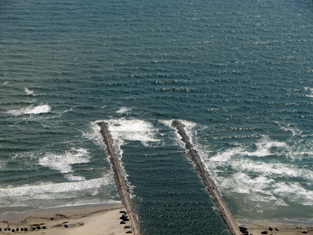
Packery Channel December 9, 2010
Packery channel is breaking on the bar in the entrance even though the surf is not very high.Packery Channel December 9, 2010
Packery Channel December 9, 2010
Packery Channel December 9, 2010
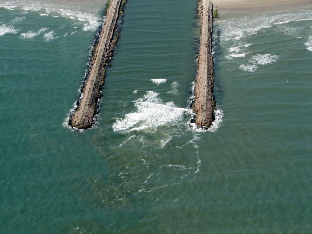
Packery channel is breaking on the bar in the entrance even though the surf is not very high.Packery Channel September 23, 2010
Recently, the Corpus Christi Caller times,
in the sport section advised that there was a shallow bar at the
entrance to Packery Channel. Here are some photos of that bar
breaking dangerously, even though the surf is not particularly heavy
along the shoreline. The bar is intermittently breaking across
the entire width of the entrance, with the worst wave action on the
north side.
Packery Channel September 23, 2010
Packery Channel September 23, 2010
Packery Channel September 9, 2010
Packery Channel a few days after tropical storm Hermine. The entrance is breaking heavily.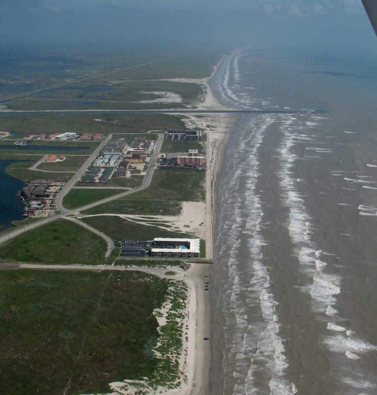
Packery Channel September 9, 2010
Packery Channel September 9, 2010
Packery Channel September 9, 2010
Packery Channel September 9, 2010
Packery Channel May 11, 2010
Packery Channel May 11, 2010
Packery Channel May 11, 2010
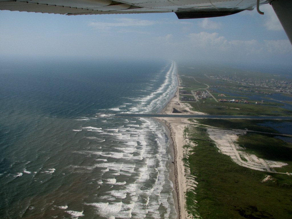
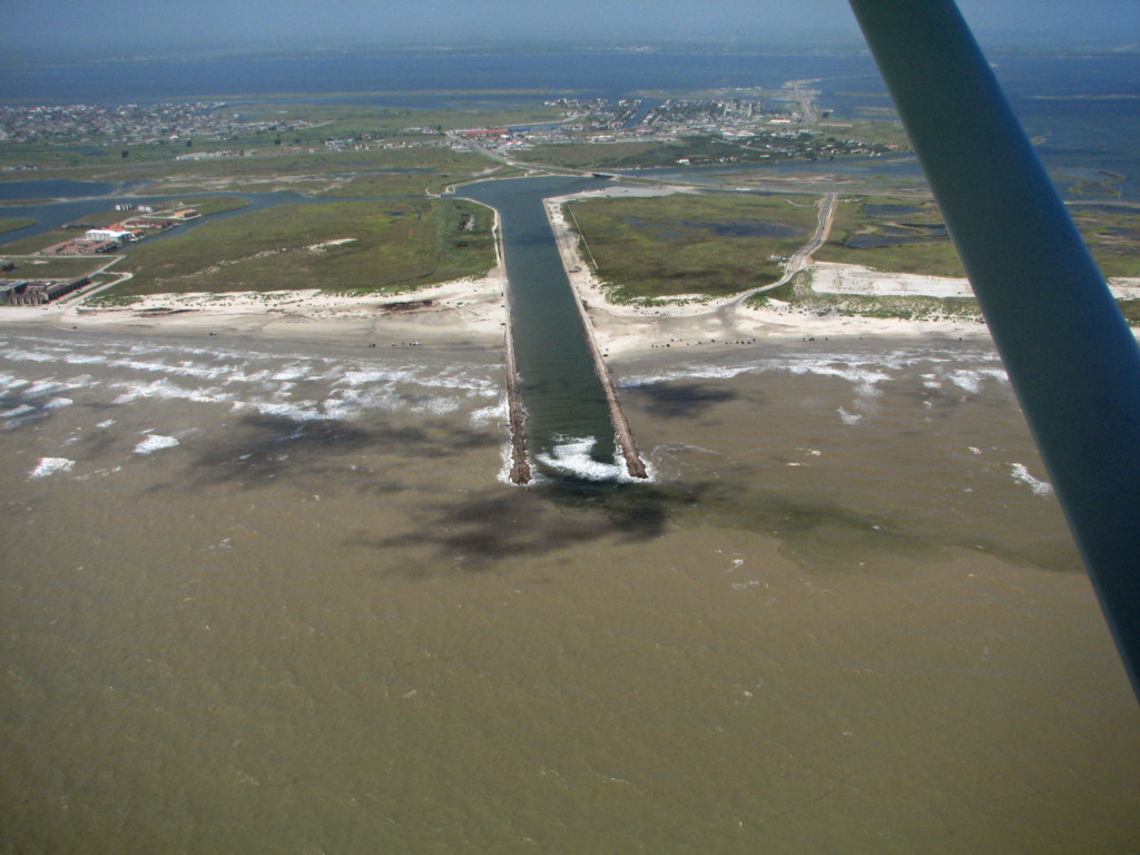
Packery Channel and Seawall February 24, 2010
The rectangular lake in front of the
seawall is the dredge material disposal basin where sand from in front
of the Packery Channel launching ramp was deposited. The total
amount dredged was supposed to be about 20,000 cubic yards for a total
cost of about $400,000. This works out to $20 per cubic yard of
sand. Many people thought that this would significantly widen the
beach in front of the seawall. However, 20,000 cubic yards is
only deposit one yard deep and 100 ft by 200 feet. Not much at
all. If the pass had been placed immediately adjacent to the
north end of the sea wall the large fillet of sand accumulated south of
the south jetty would be in front of the seawall, rather than well
north of it. This would have helped keep an excellent beach in
front of most of the seawall at no cost as that fillet continued to
accrete.
Packery Channel and Seawall February 24, 2010
Here, you can see that the newly deposited
sand made almost no noticable increase in the amount of sand in front
of the seawall nor seaward accretion to the shoreline.
Packery Channel and Seawall February 24, 2010
Again, you can see only a tiny seaward
advance of the shoreline and the nearshore bars at the south end of the
disposal area, just south of the pond on the beach. The beach
north of the north jetty is being manicured by a grader. It would
make a lot more sense to leave that wide beach alone so that it can
begin to be populated with new stabilizing vegetation. Continued
scraping will prevent growth of vegetation and will, in turn, prevent
growth of coppice dunes on the backshore. John Adams noticed that there is very
little re-vegetation of the dunes destroyed in front of the Tortuga
Dunes development between the road and the walkway in the photo below.
In fact, it looks like some of the sand from the foredune ridge
is now blowing inland. Perhaps the developer should be required
to make another attempt at revegetating the dunes destroyed in this
project.
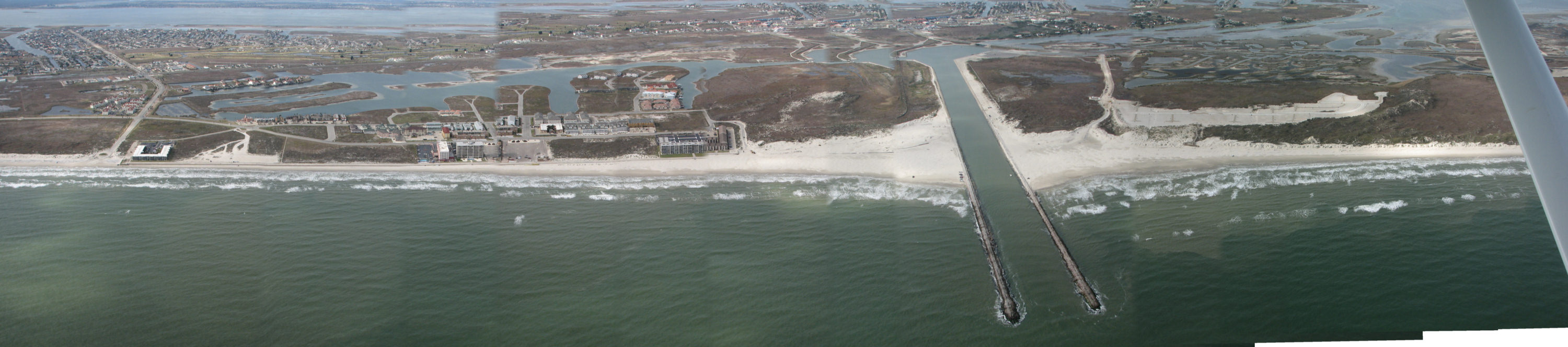
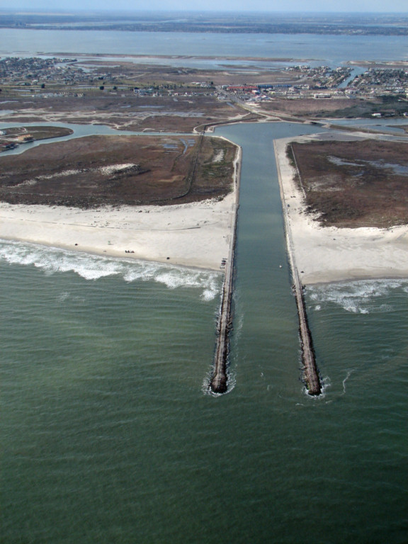
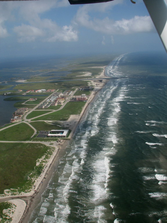
Packery channel panorama of 14 photographs 1/11/2010. Note that the merging of the photographs is not perfect and small shoreline irregularities are probably not real.
Packery Channel basin and launching area 1/11/2010. Note sand
bars.
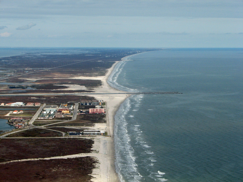
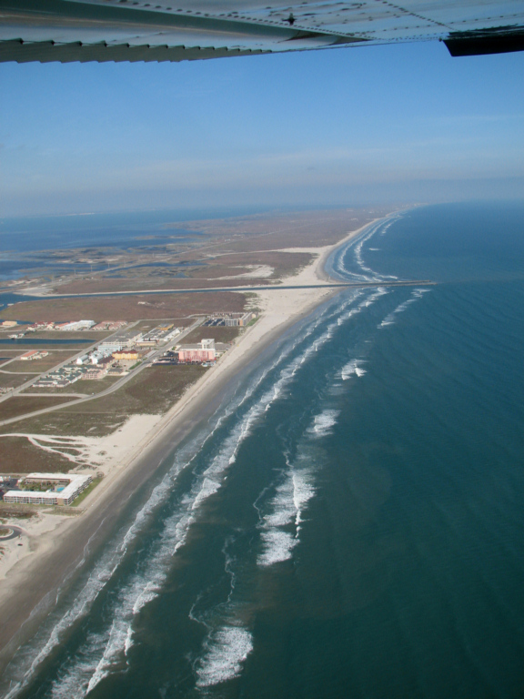
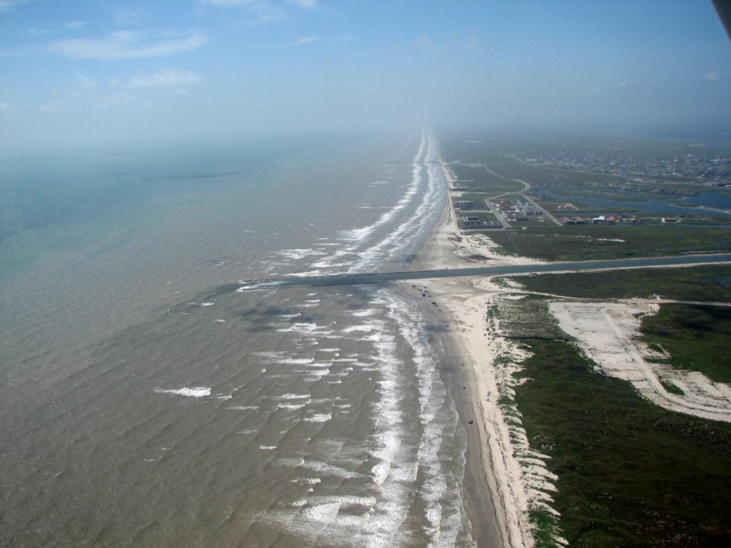
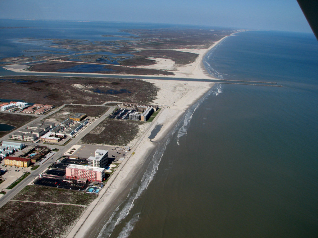
Packery Channel and seawall beach 1/11/2010
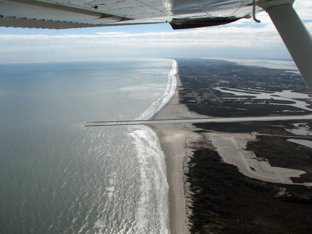
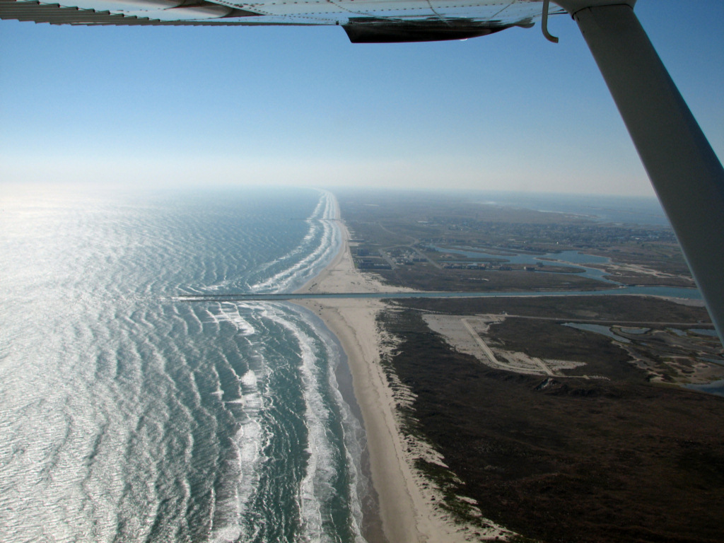
Packery Channel 1/11/2010
Packery Channel 1/11/2010
Back to Packery Channel Index